Photogrammetry
Digital aerial photogrammetry at close range
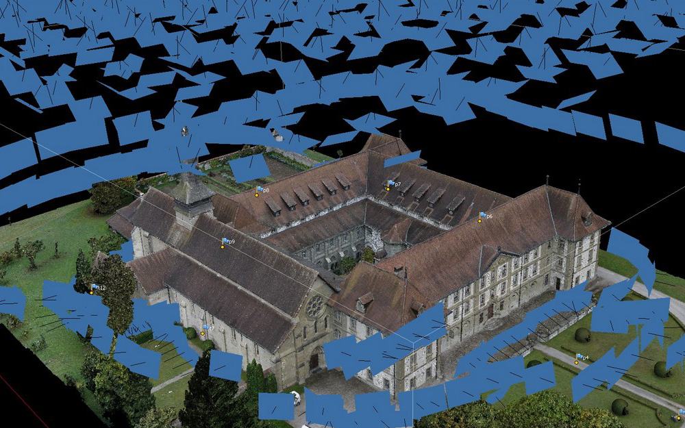
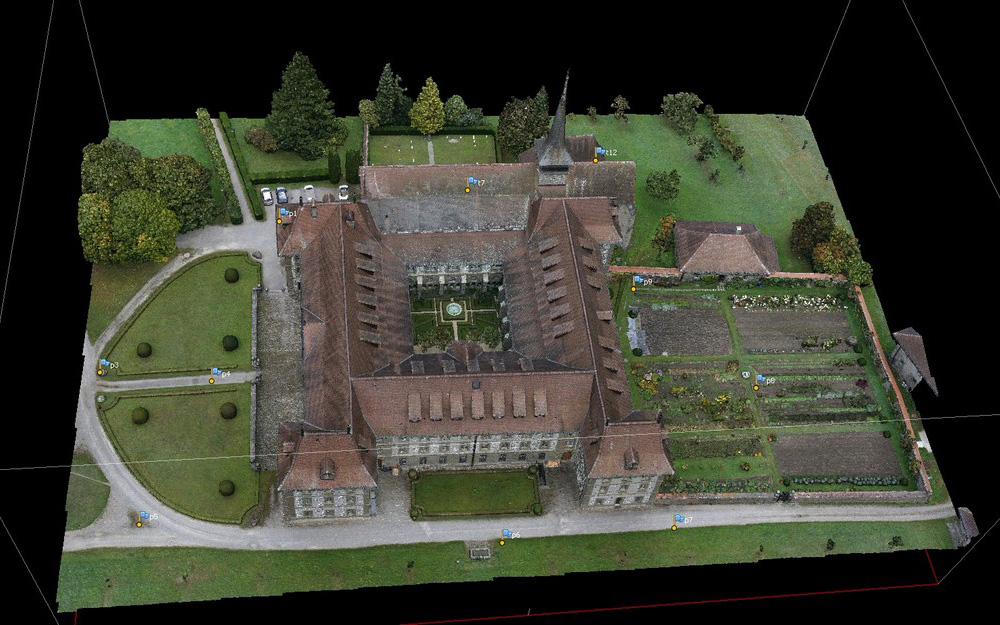
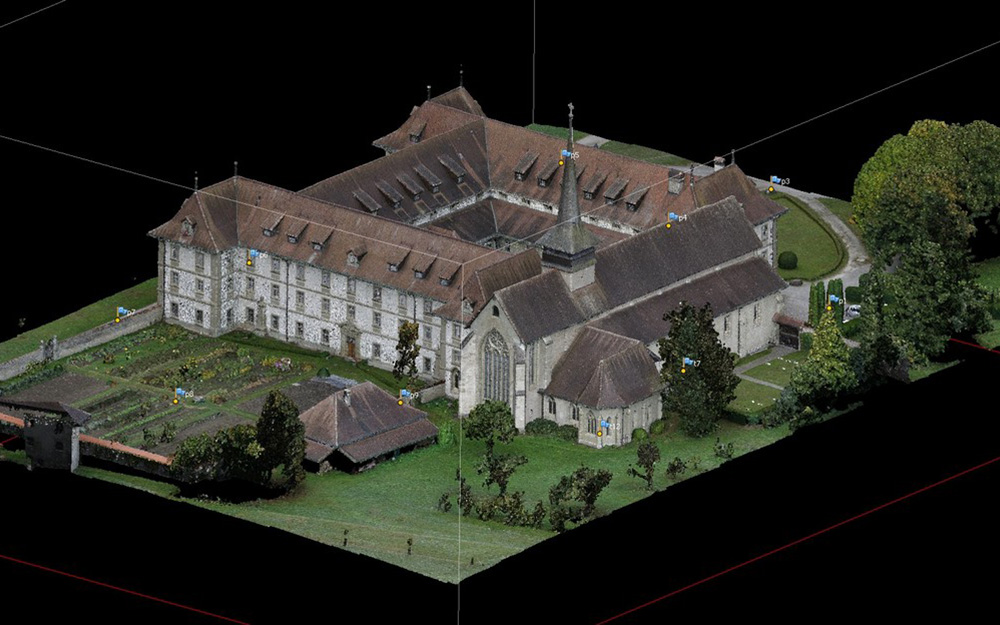
Equipped with a range of high definition cameras, Archéotech SA can rapidly measure important sites or monuments using different tapes of drones. Using specific shooting methods, the documentation of urban sites reproduces as well the elevations as the plans. 3D models of photographic quality can also be generated this way, just like what was realized for the Saint-Moritz Abbey in Valais, where Archéotech SA carried out complete measurements using aerial photogrammetry, which has then been used to recreate a precise 3D model of the abbey in its whole; this led to the creation of an equivalent model moulded in bronze to present the visitors with.
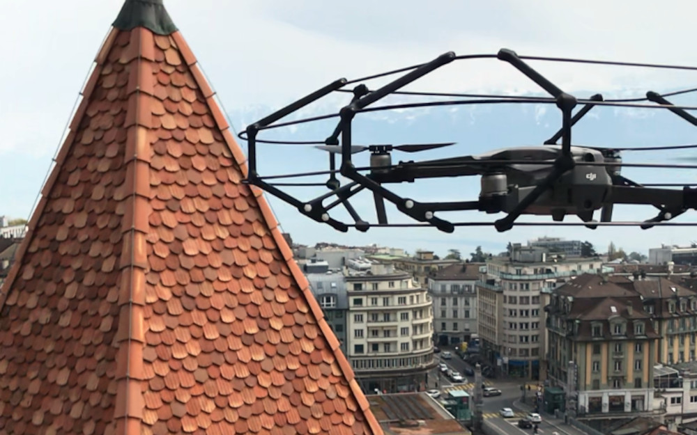
Photogrammetry using drones
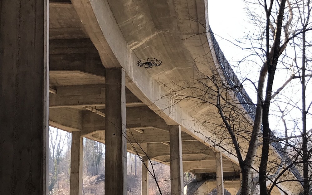
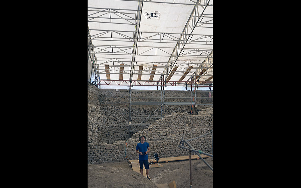
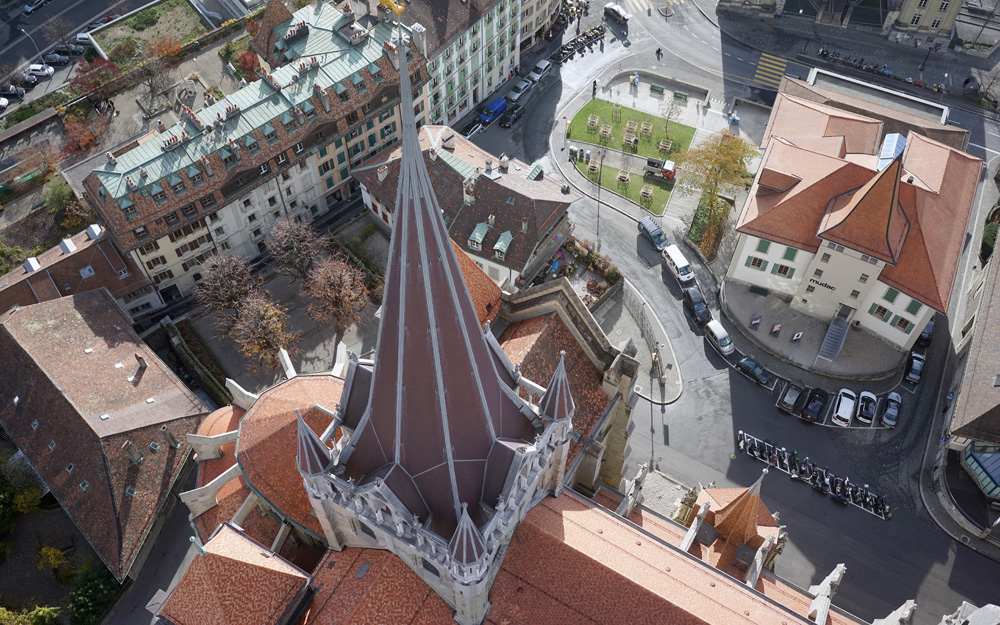
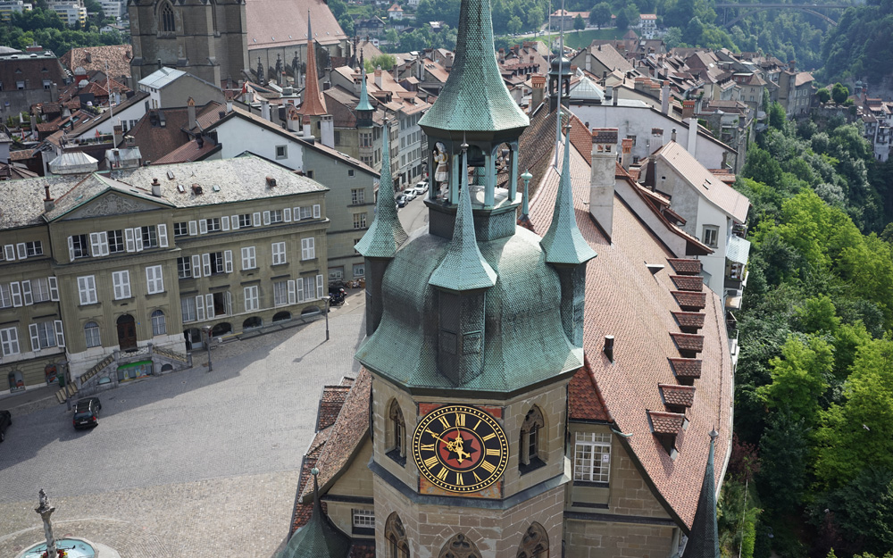
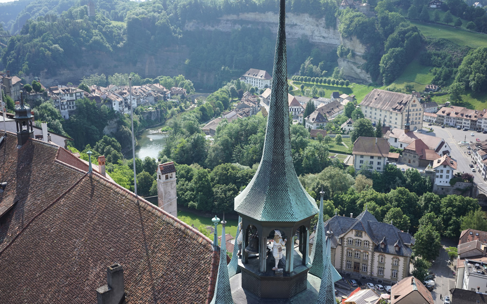
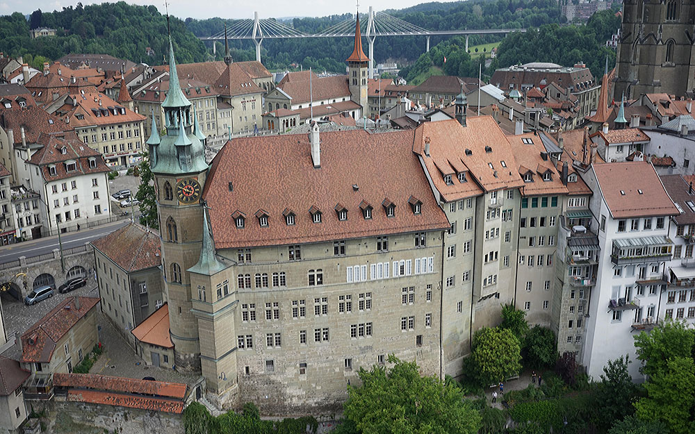
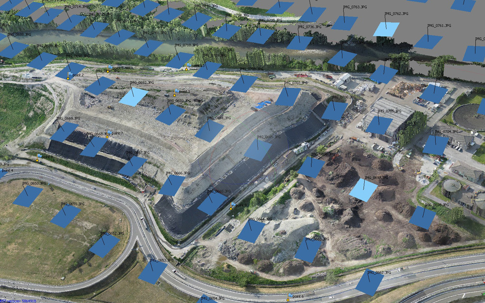
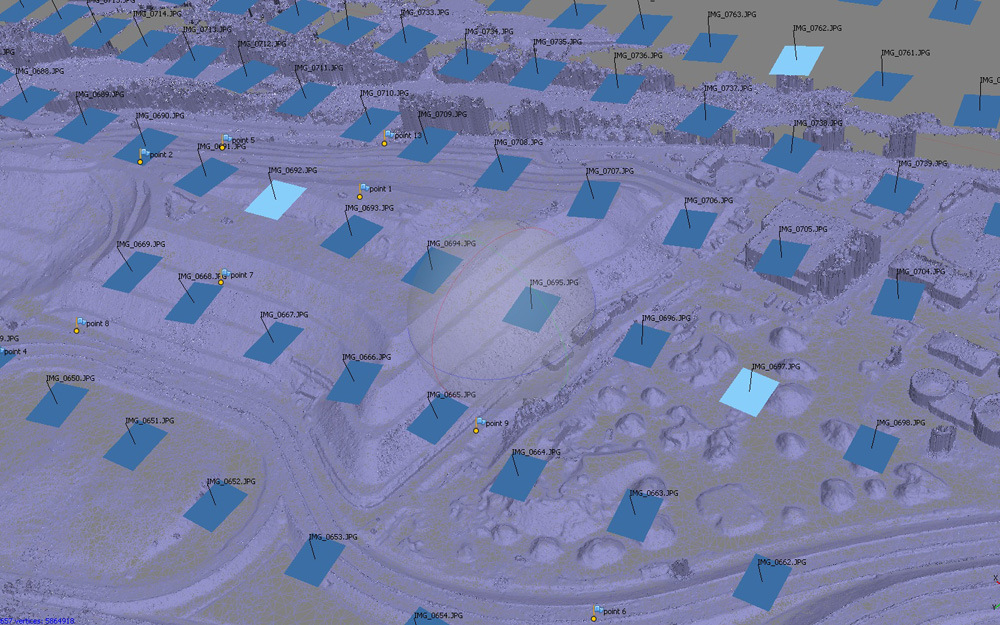
The acquisition of drones equipped with different metric cameras perfectly completes our measuring systems. Able to fly as low as a dozen centimetres and as high as a several dozen metres, the drone is an ideal tool to document in details archaeological sites, excavations, monuments and works of art.
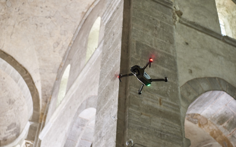
With DJI’s Mavic PRO drone, measuring and photographing sites with difficult internal access also becomes easy and fast. Allying stability and protected propellers, the Mavic PRO flies inside enclosed spaces. It allows for a complete coverage of a construction’s elements that are inaccessible to classical terrestrial photogrammetry. To improve the drone’s abilities and precision, Archéotech SA programmed the adequate software for vertical or diagonal flight plans, thus allowing the drone to always stay positioned at a steady distance from the facades.
The images produced with our drones are treated with new photogrammetry software on our powerful parallel super-computers.
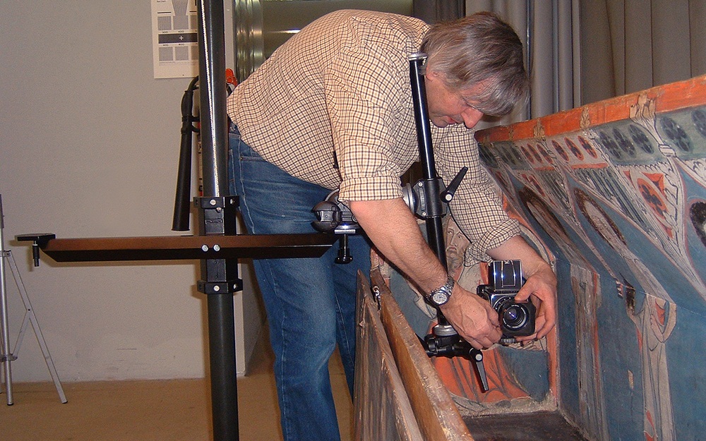
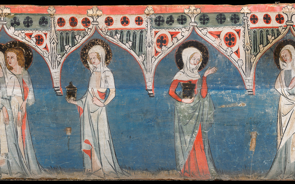
Digital terrestrial photogrammetry
With the convergent terrestrial photogrammetry, it is easy and extremely fast to measure facades, archaeological excavations or technical infrastructures.
The precision of digital convergent photogrammetry is excellent in all 3 dimensions. This technology is particularly useful in zones that have no space; the absence of strict constraint for shooting makes it really reliable on subjects with strong reliefs. Historical photographs can be integrated to a model to reconstitute missing elements.
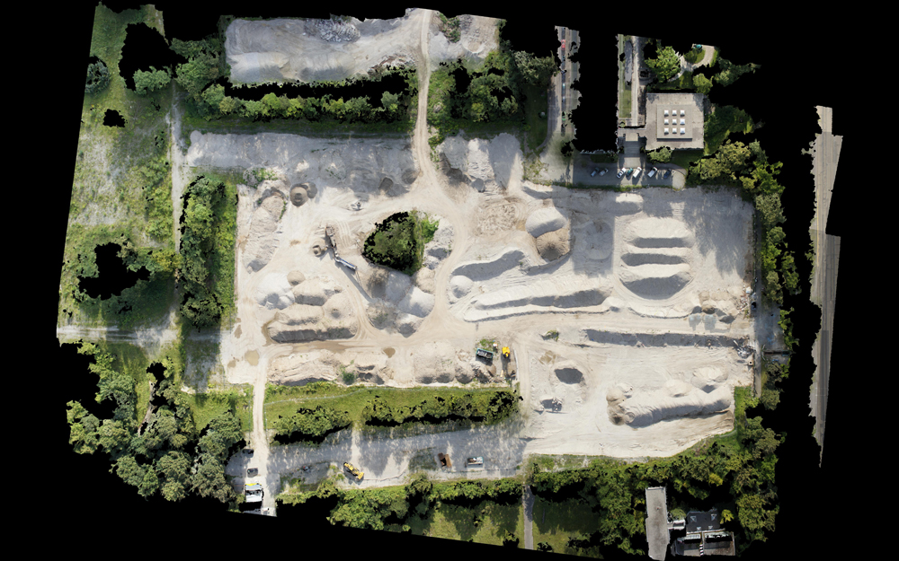
Digital photogrammetry and orthophotography
These digital techniques model in three dimensions the subjects’ geometry. On the contrary, pixels of photograms can be projected onto the 3D model to obtain perfectly oriented textures. Each scene can be visualized from any axis of projection in order to obtain an image of photographic quality at the wanted scale.
Orthophotography rapidly produces metric based media of photographic quality allowing the archaeologists and restorers to record their observations on the site without having to care about measuring anything.
For an archaeologist, these techniques document day after day the different states of an excavation. They offer the possibility to produce computer-generated photographs that illustrate situations never before seen simultaneously on the field.
Advantages
• Fast and easy measurements of buildings, excavations or technical infrastructures
• Creation of 3D models of photographic quality
• Possibility to superimpose the models onto historical photographs to reconstitute missing elements
• Fast production of metric based media of photographic quality
Fields of intervention
Art restoration, museography, architecture, historical reconstruction, urbanism, civil engineering, industry, naval construction, dynamic monitoring of works, scientific analysis, archaeology.