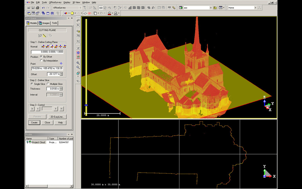
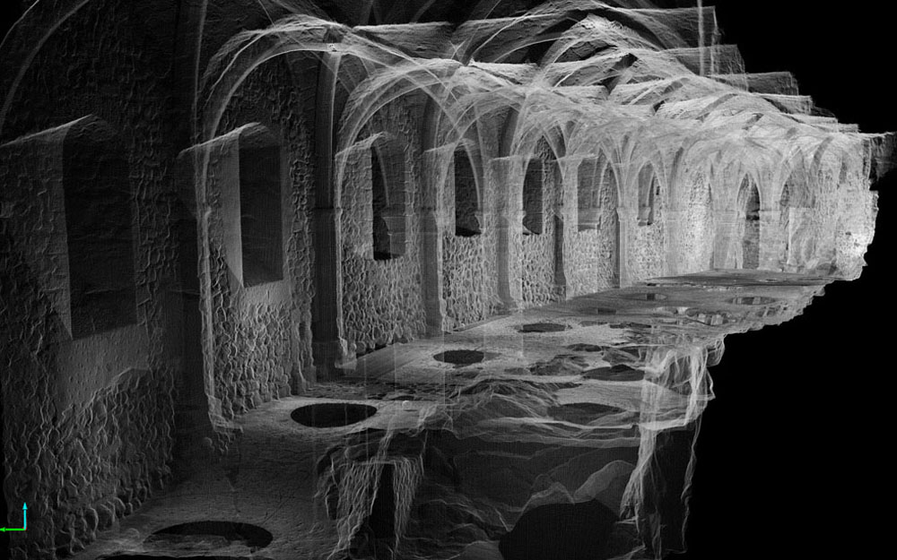
Scatter plots
Nowadays, the advent of high definition digital cameras combined with the power of super-computers help generate three-dimensional models via autocorrelation of analogous points between the different images. Millions of points are calculated from pictures and form scatter plots connected by triangulated surfaces on which the photographs’ pixels are projected. We thus obtain a 3D photograph of the object, the monument or the site. If we enter in the scene at least three known points as coordinates X, Y, Z, the model is georeferenced and has a metric scale.
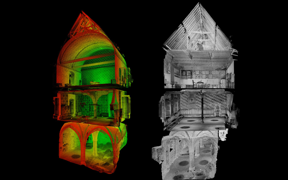
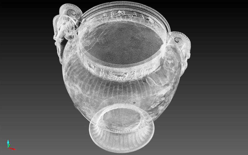
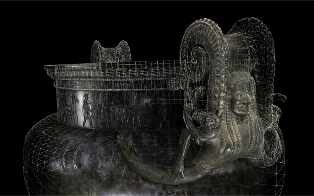
For objects with a complex morphology, such as sculptures or chaotic surfaces, there are automated modelling programs. From the scatter plots, these programs are able to create coherent surfaces that will lead to a 3D model of the object. In that case, only one surface will connect the measured points, without distinguishing the structure or the materials it meets.